Vancouver International Airport (YVR)
City Orientation and Maps
(Vancouver, British Columbia (BC), Canada)
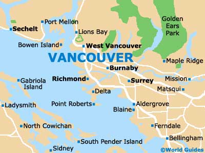
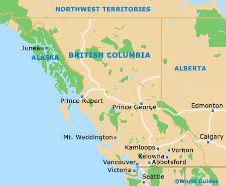
Located on the southeastern side of Canada, the city of Vancouver lies in the province of British Columbia. Standing alongside both the ocean and spectacular mountainous scenery, Vancouver boasts a magnificent downtown area, filling a narrow peninsula area, alongside both the English Bay and the Burrard Inlet.
Vancouver is a sprawling city, featuring a number of waterfront areas and beaches, together with a bustling harbor. Many people visiting the city choose to fly into Vancouver International Airport (YVR), which is situated to the south of the downtown district.
Vancouver International Airport (YVR) Maps: Important City Districts
The city contains a wealth of green spaces and parklands, together with large numbers of tall, glass-clad skyscrapers, which dominate the skyline around the Burrard Inlet. Vancouver is divided into several prominent neighborhoods, including the spectacular Chinatown district, which is the second-biggest in the whole of North America and full of authentic Chinese restaurants.
Other important districts include Gastown, where you will find a host of late-Victorian architecture and unusual tourist attractions, such as an eye-catching Steam Clock. Within the center of Vancouver, Granville Island is known for its bustling market, while the main shopping district is centered around Robson Street, with further shops and restaurants being plentiful in the Yaletown region.
Canada Map

British Columbia Map
Vancouver Map